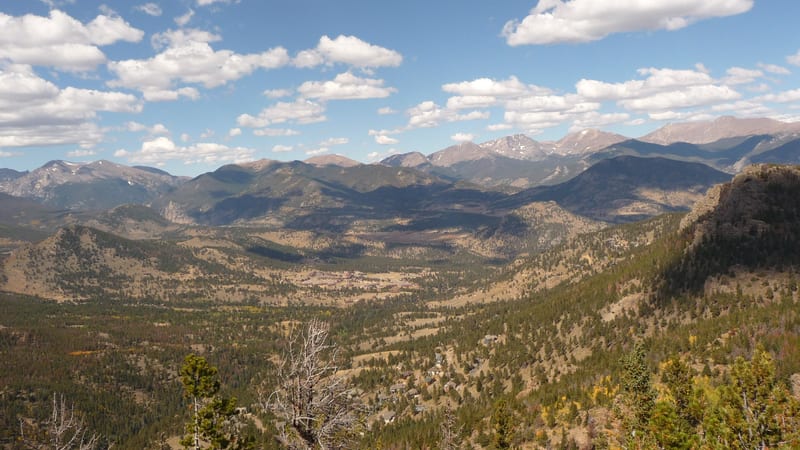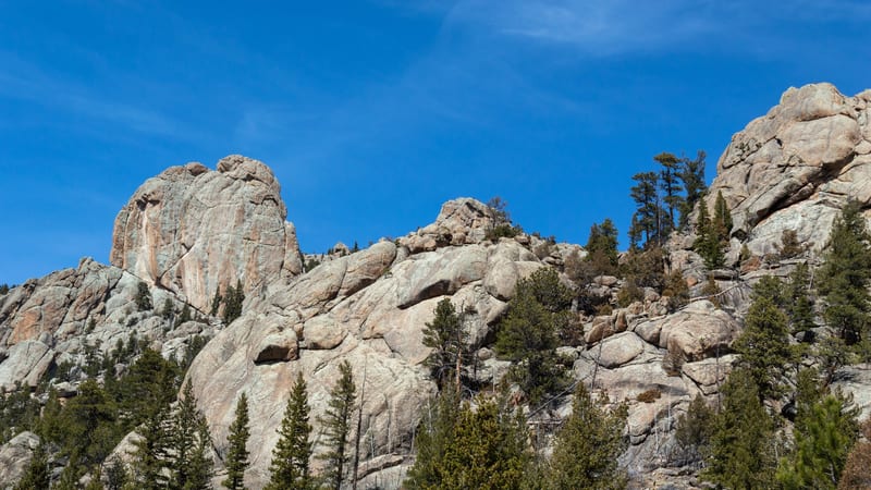
Balanced Rock via Gem Lake and Balanced Rock Trail
7.8 mi 1,706 ft gain 4.0 hr
Moderate Out & back
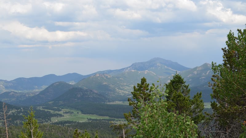
A longer extension of the Gem Lake Trail that continues past the lake to the giant Balanced Rock formation on Lumpy Ridge — a satisfying full-day hike through granite terrain with views over Estes Park and the park's eastern valleys.